
Advanced Aerial Surveys for Energy & Infrastructure
Specializing in methane leak detection, thermal imaging, LiDAR mapping, and radiometric surveys.
What We Offer
Methane Leak
Detection
LiDAR
Mapping
Optical Gas
Imaging
Radiometric
Surveys
Thermal
Inspections
3D
Modeling
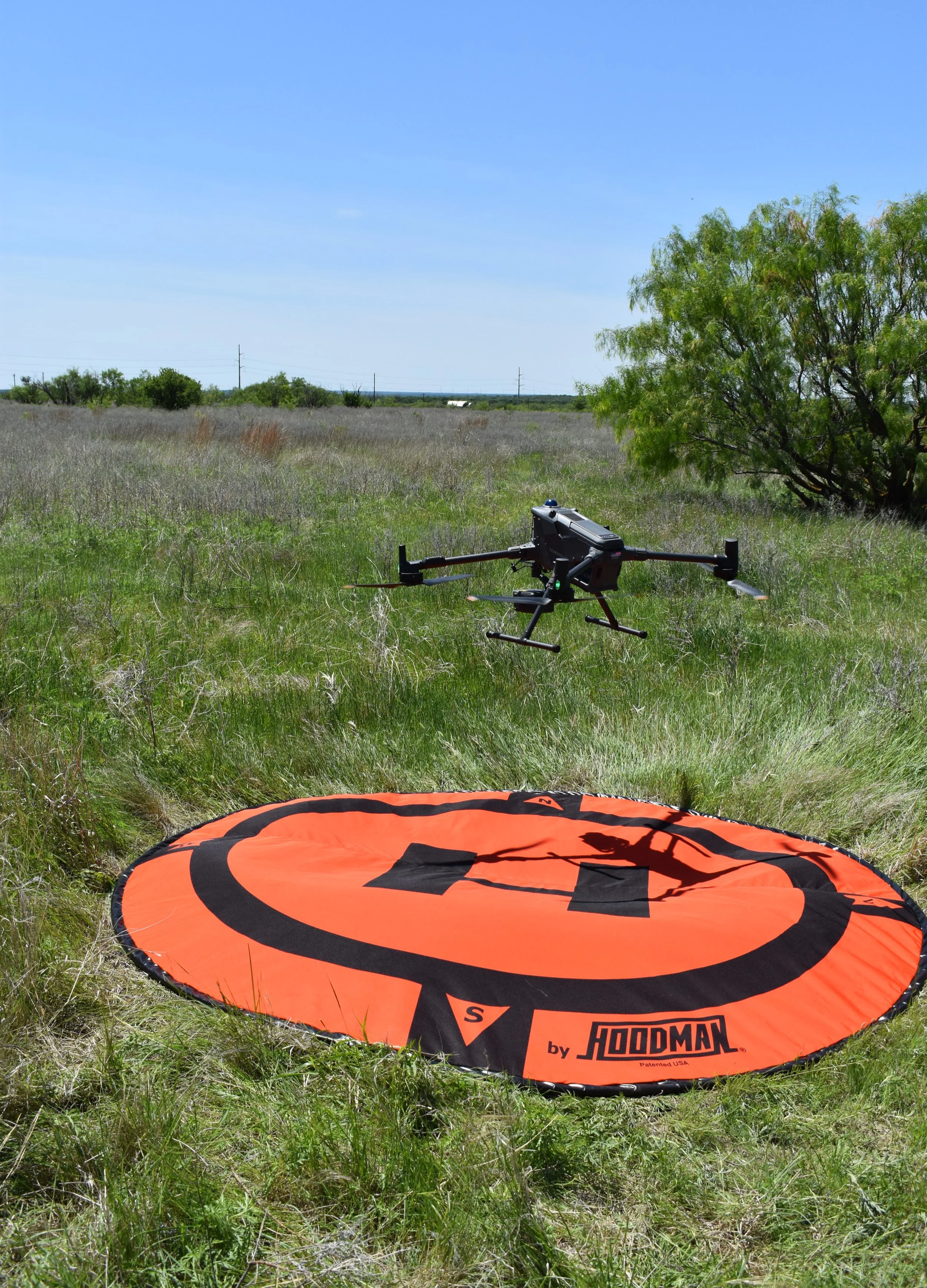
Detection In Action
Every survey is built for accuracy, speed and results.
How It Works
-
Share your site details, objectives, and areas of interest with our team. We'll review your requirements and discuss the best approach for your project.
-
We develop a mission plan tailored to your operational goals and site conditions. Appropriate sensors, flight parameters, and logistics are selected to ensure efficient and accurate data collection.
-
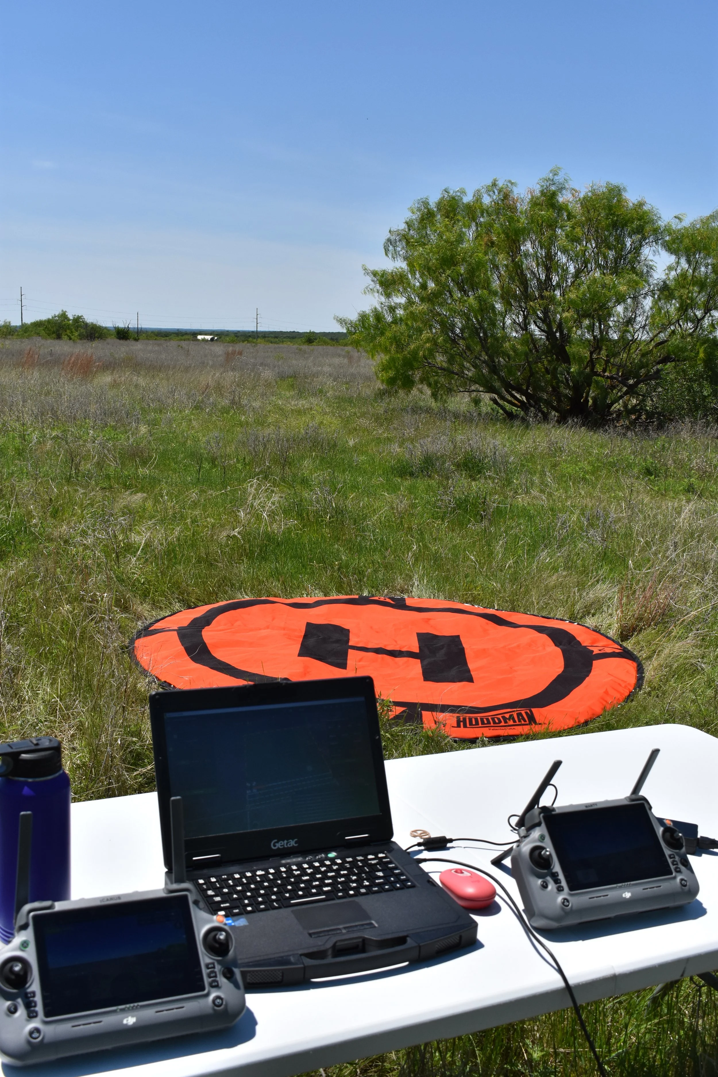
Our FAA-certified pilots safely deploy advanced drone systems and specialized payloads in the field. Operations are conducted efficiently while minimizing disruption to your facility or assets.
-
During the mission, specialized sensors collect high-quality information across multiple datasets. Real-time monitoring helps ensure accurate and reliable results.
-
Collected information is processed and carefully reviewed by our team. Raw data is transformed into meaningful findings and actionable insights.
-
Clients receive organized reports, imagery, maps, and models tailored to their project needs. Our deliverables are designed to support informed decisions and confident operations.
We make aerial data collection simple. From planning and field operations to final reporting, our team delivers accurate, actionable insights using industry-leading drone technology.
Technology Built for Precision
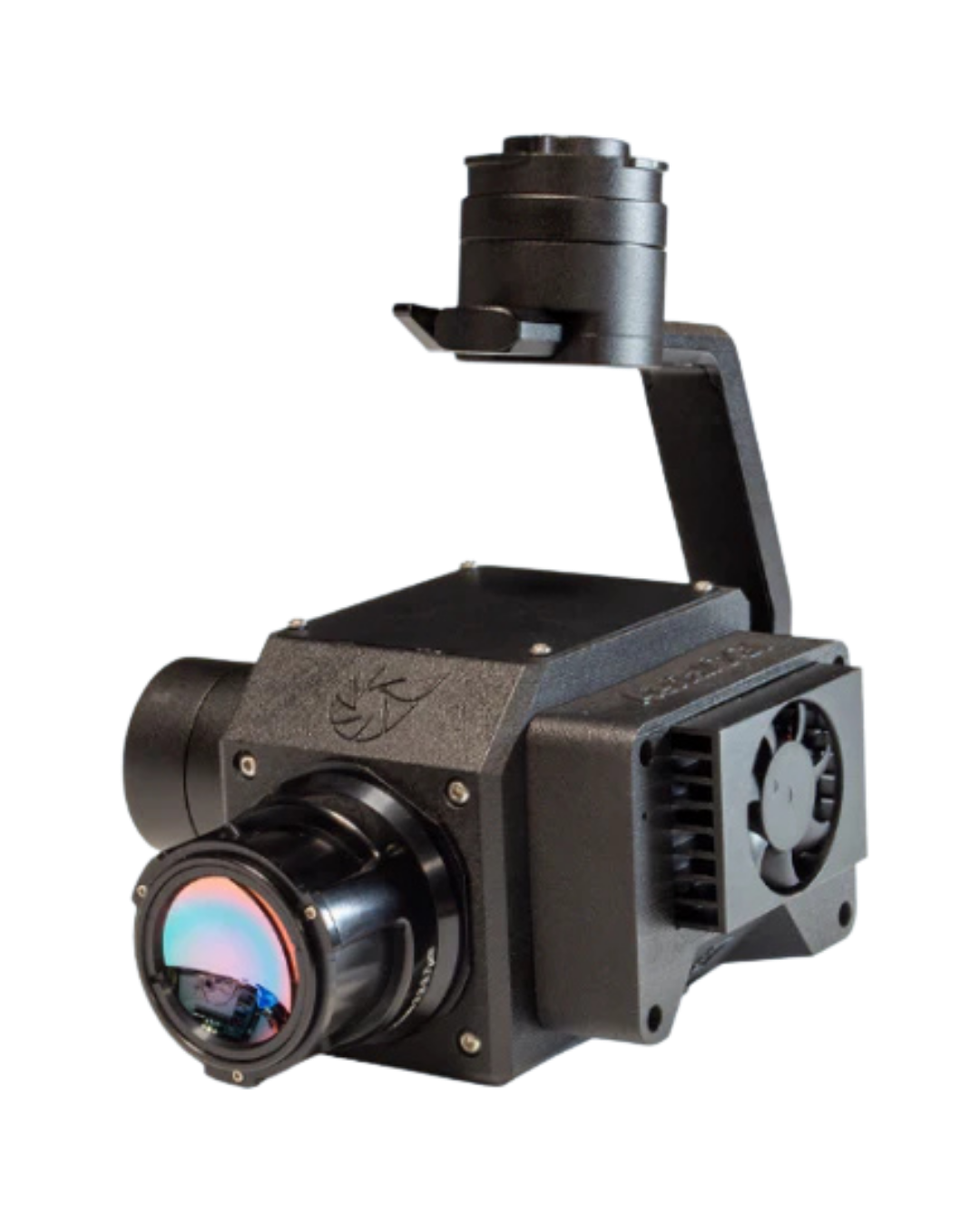
Aerial OGI
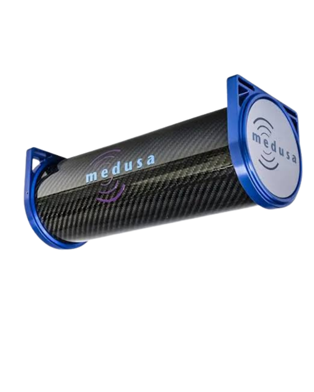
Medusa M700
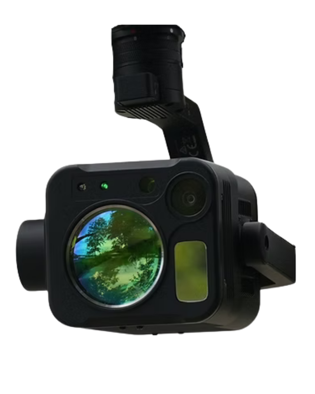
Purway Ch4 III
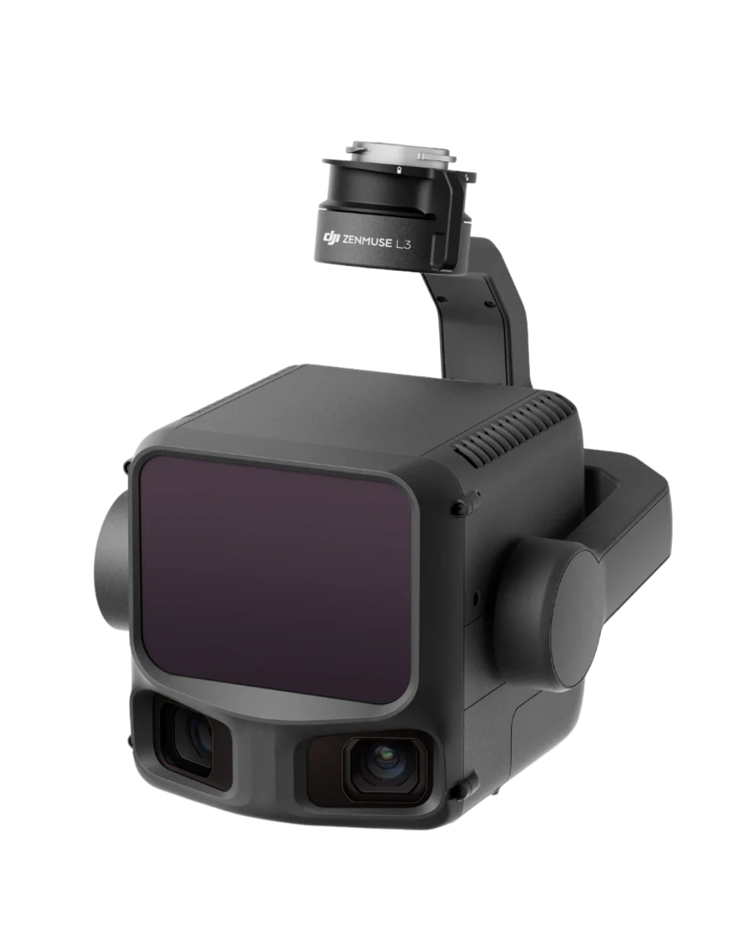
DJI L3 LiDAR
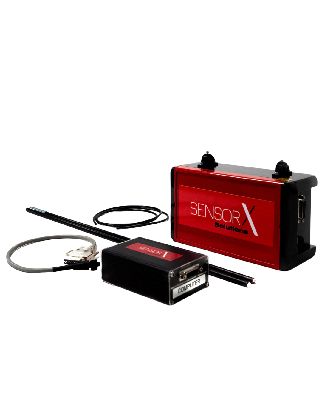
Sensorx Flux Aero
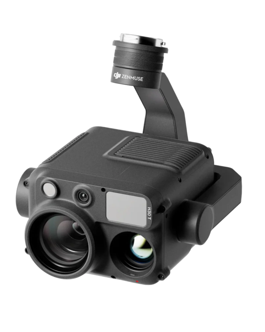
H30T
Why Industry Professionals Choose Martlet
✓ Faster Turnaround
✓ Reduced Product Loss
✓ Safer Operations
✓ Actionable Deliverables
✓ Repeatable Results
✓ Cost-Effective Solutions
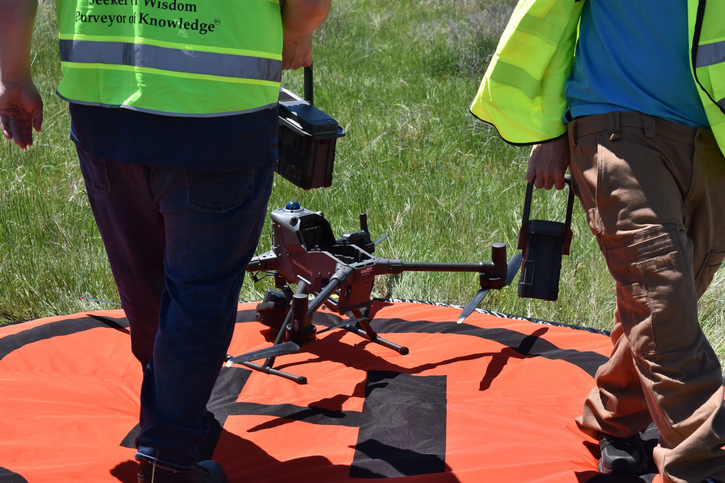
Powered by advanced sensors, FAA-certified operations, and a commitment to delivering accurate, actionable data.
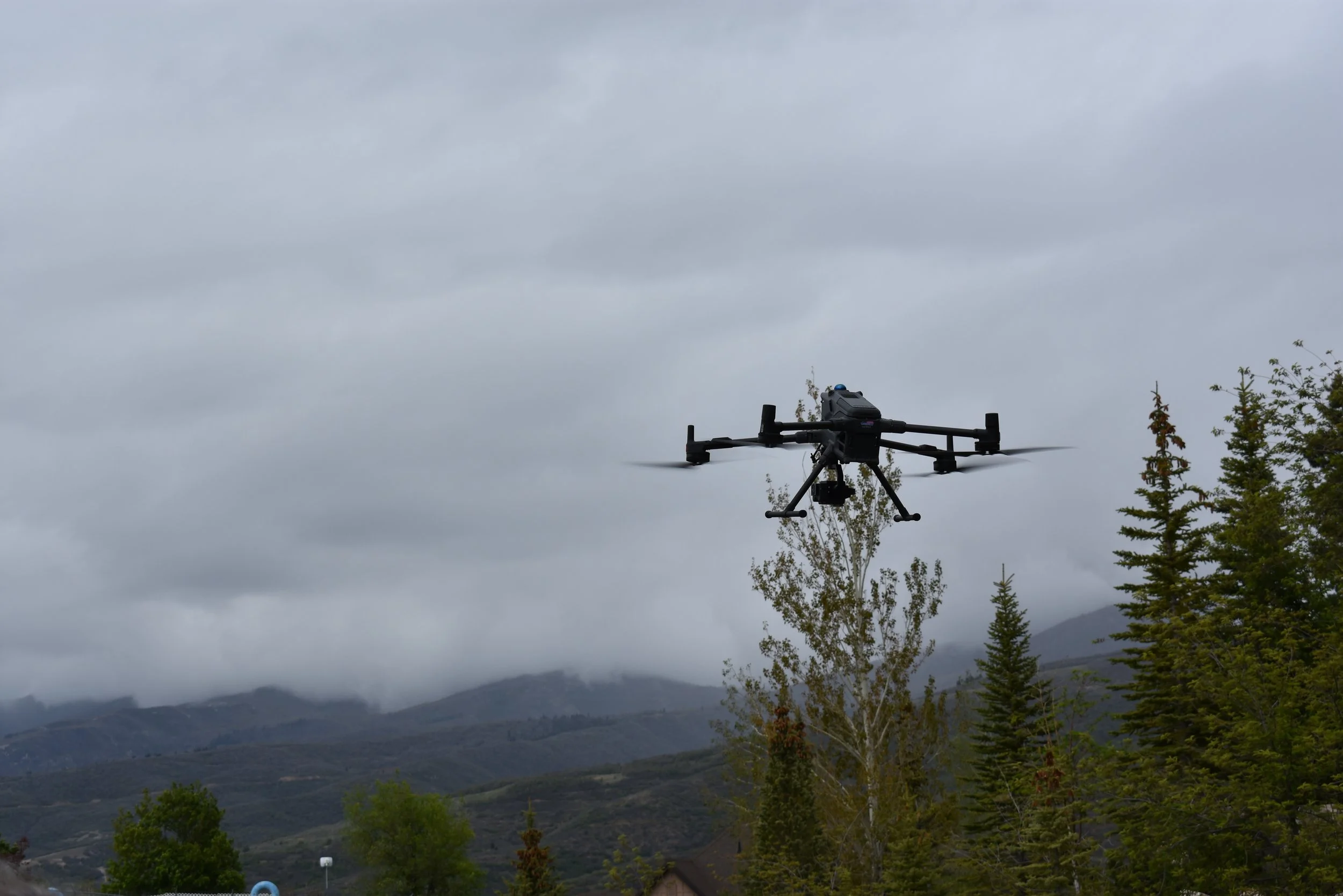
Tell us about your site, project goals, or areas of interest. A member of our team will review your request and respond with the next steps.